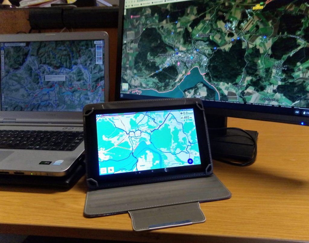
Working through the possibilities of the best cycle environment, I create GPX data for the trip. I do that mostly with Bikemap.net. On difficult segments also with Google Map in the satellite view but also use the territorial information. In Italy, for example, the website Bicitalia is best. For planning in Bavaria, I use Bayernnetz for Radler. But also for other countries, there might be useful information on the internet, so that I get the best route for my demand.