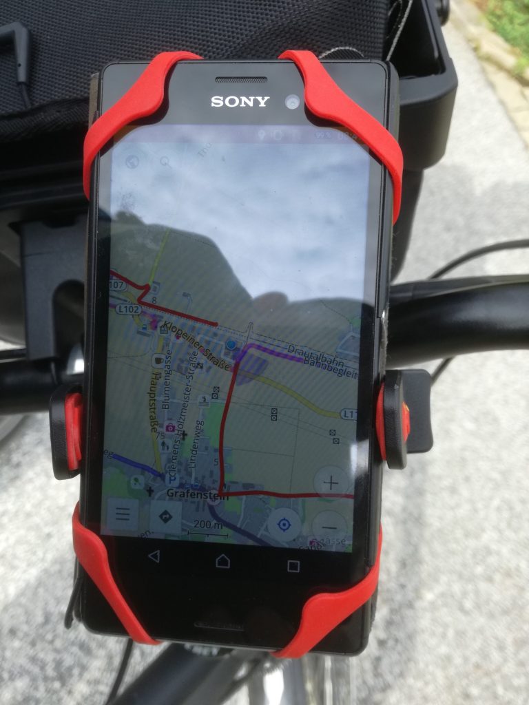
The outworked GPX data leads exactly to and from the daily housing along the planned cycle route. These data are downloaded, stored on my smartphone and is the basis for “offline” navigation for the day. For navigation on the smartphone, I use Osmand with preloaded offline maps. Therefore I just following my “red line” during the day. If something unexpected happened, I do some replanning. However, that seldom happens.